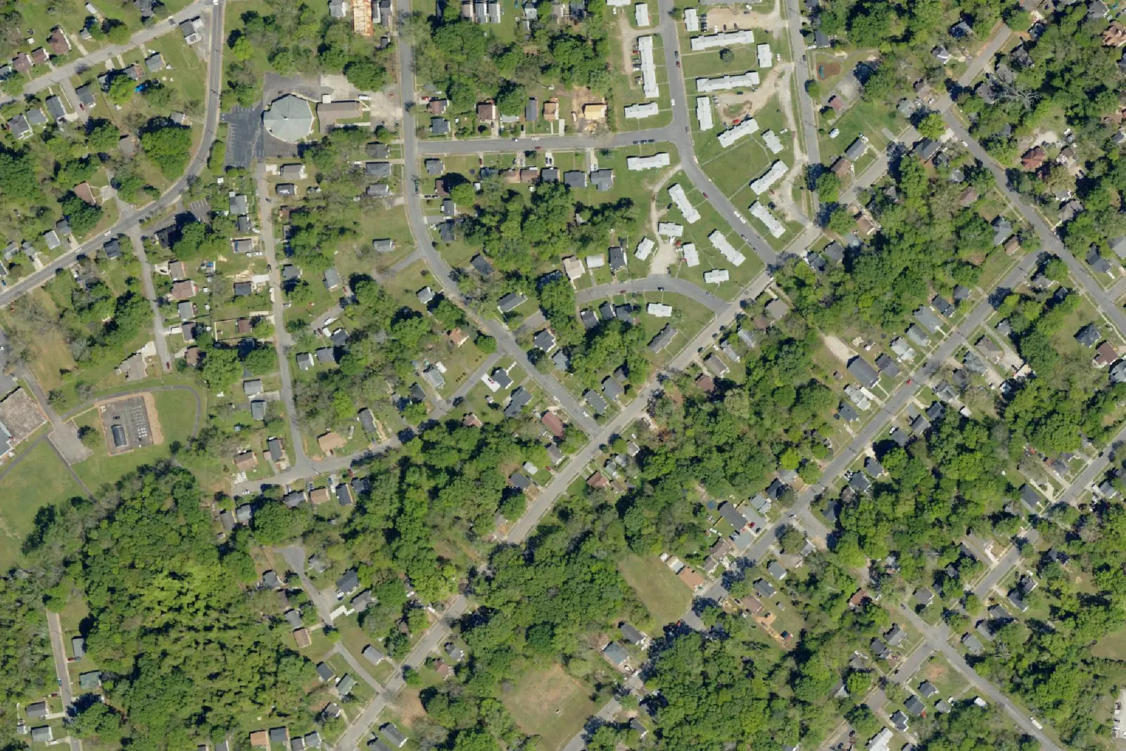
South Central covers 182 acres south of downtown Rock Hill, off Crawford Road. Split between the South Pointe and Northwestern High zones; ZIP 29730.
Last checked Oct. 12, 2026. Sources: the City of Rock Hill’s neighborhoods map, Southside Rock Hill Historic Resource Survey (PDF) and parks directory, York County’s school attendance boundaries, South Carolina’s 2025 school report cards, OpenStreetMap and Zillow Research.
South Central is a neighborhood of older, mostly single-story homes just south of downtown Rock Hill. The City of Rock Hill maps it as the area of the South Central Neighborhood Association, one of six neighborhood groups on its neighborhoods map. City Hall is about 0.6 mile away by road.
What this means for you
- Zoned high school: split. Of the points we checked, 58% were zoned for South Pointe High and 42% for Northwestern High, both rated Average on the 2025 state report cards. Check an address with the School Zone Locator.
- Home value: $287,994 in ZIP code 29730 in August 2026, according to the Zillow Home Value Index.
- Nearest I-77 exit: Exit 77, U.S. 21 and S.C. 5, about 3.4 miles by road.
Part of our Rock Hill neighborhoods guide.
Where it is
On the city’s map, South Central covers about 182 acres south of downtown. Crawford Road, Carolina Avenue, Green Street, Little Street and Pond Street run through it, and its edges follow Carolina Avenue Extension, State Street, Center Street and Hampton Street. Streets inside include Clarinda, Douglas, Whitner, Heyward, Taylor, Rock, Emmett and Powderhouse streets, Jefferson Avenue and East Moore Street. Almost all of it (97% of the points we checked) lies inside the city’s Old Town map, and all of it is in ZIP code 29730 (Census Bureau ZIP code areas).
The Marion Street Area Historic District, listed in the National Register of Historic Places on June 10, 1992, adjoins it to the northeast, according to the National Register records summarized in the list of Rock Hill listings. Sunset Park and Hagins-Fewell are to the west and northwest.
History
South Central lies inside the area the city studied in its 2023 Southside Rock Hill Historic Resource Survey (PDF), bounded generally by East Moore Street, Saluda Street, Blake Street and South Heckle Boulevard, and Friedheim Road and South Dave Lyle Boulevard. The survey recorded 1,087 buildings and sites and says the great majority of buildings in the survey area are single-story and modest in size.
It also notes that Moore Street Park, in this neighborhood, and Lige Street Park were developed by the city in the early 1970s under the federal Model Cities program, each with a few acres of open space, a ball field or basketball court and a picnic shelter.
The neighborhood association is one of those the city works with through its neighborhood empowerment program.
Schools
We checked 36 points across South Central against York County’s school attendance boundaries, the layer behind the district’s Find My Schools map.
| Level | School | Share of points | 2025 rating | Score (of 100) |
|---|---|---|---|---|
| Elementary | Sunset Park Center for Accelerated Studies | 78% | Average | 50 |
| Elementary | York Road Elementary | 19% | Below Average | 39 |
| Elementary | Oakdale Elementary | 3% | Good | 57 |
| Middle | Rawlinson Road Middle | 100% | Average | 47 |
| High | South Pointe High | 58% | Average | 57 |
| High | Northwestern High | 42% | Average | 57 |
Ratings and scores are from South Carolina’s 2025 report cards (data file). In the federal school directory, South Pointe High is at 801 Neely Road and Northwestern High at 2503 W. Main St. Because the high school line runs through the neighborhood, check every address with the School Zone Locator. More in our schools guide.
Home values
The Zillow Home Value Index for ZIP code 29730 was $287,994 in August 2026, down 2.2% from $294,567 in August 2025. Zillow’s figure for the City of Rock Hill was $323,886. The index is a modeled typical value for homes in the middle third of the market, not a sale price, and 29730 covers much of central and south Rock Hill. More in our home prices guide.
Parks and recreation
From the city’s parks directory:
- Moore Street Park, 271 E. Moore St., inside the neighborhood.
- Emmett Scott Recreation Center, 801 Crawford Road, 803-329-5661, and McGirt Auditorium, 825 Crawford Road, about 0.3 mile west.
- Marion Street Park, 351 Marion St., about a third of a mile northeast.
- Armory Park and its trail, 714 S. Confederate Ave., about 0.4 mile east.
More in our parks and trails guide.
Getting around
- I-77: Exit 77, U.S. 21 and S.C. 5, about 3.4 miles by road, and Exit 75, Porter Road, about 4.1 miles. Exit numbers are from SCDOT’s interstate interchanges layer; road names are from the exit signs as mapped in OpenStreetMap.
- City Hall, 155 Johnston St.: about 0.6 mile by road.
- Charlotte Douglas International Airport: about 25 miles by road.
- Bus: no fixed-route bus since My Ride Rock Hill ended May 22, 2026. York County Access offers rides by appointment for $2.50 each way, 803-327-6694, extension 2.
Distances are measured on the OpenStreetMap road network from the middle of the neighborhood; they are distances, not drive times. More in our getting around guide.
Groceries and everyday stores
From OpenStreetMap:
- Library: York County Library, Rock Hill branch, 138 E. Black St., about half a mile north.
- Supermarkets: none inside the neighborhood; the nearest are Food Lion on East Main Street and Food Lion on Prestwick Drive, each about 1.7 miles away.
Frequently asked questions
Where is the South Central neighborhood in Rock Hill?
South of downtown, between Crawford Road and Carolina Avenue, with Green Street, Little Street and Pond Street running through it. The city’s neighborhood map draws it at about 182 acres, almost all inside Old Town, in ZIP code 29730.
What schools is South Central Rock Hill zoned for?
Of the points we checked, all were zoned for Rawlinson Road Middle; 58% for South Pointe High and 42% for Northwestern High; and 78% for Sunset Park Center for Accelerated Studies. Check each address with the district’s School Zone Locator.
What park is in South Central Rock Hill?
Moore Street Park, 271 E. Moore St., is inside the neighborhood. The city’s Emmett Scott Recreation Center, 801 Crawford Road, is about 0.3 mile west.
What is the typical home value in South Central Rock Hill?
Zillow does not publish a figure for the neighborhood. The Zillow Home Value Index for ZIP code 29730 was $287,994 in August 2026, down 2.2% from a year earlier.
Have your say