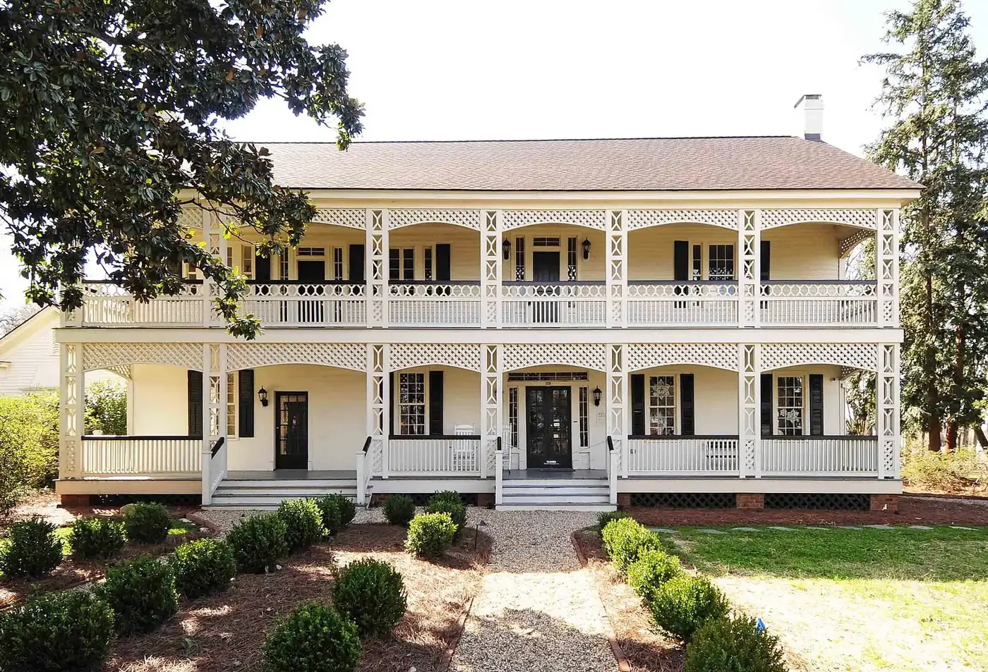
East Town covers about 215 acres east of downtown Rock Hill along East Main, Black and White streets. Zoned for Northside Elementary; ZIP code 29730.
Last checked Oct. 12, 2026. Sources: the City of Rock Hill’s neighborhoods map, historic preservation page and parks directory, York County’s school attendance boundaries, South Carolina’s 2025 school report cards, OpenStreetMap and Zillow Research.
East Town is the neighborhood just east of downtown Rock Hill, on the blocks of older houses along East Main, East Black and East White streets. The City of Rock Hill maps it as the area of the East Town Neighborhood Association, one of six neighborhood groups on its neighborhoods map. Fountain Park, home of the Old Town Market, is on its downtown side.
What this means for you
- Zoned high school: mostly Northwestern High (78% of the points we checked), the rest South Pointe High; both were rated Average on the 2025 state report cards. Check an address with the School Zone Locator.
- Home value: $287,994 in ZIP code 29730 in August 2026, according to the Zillow Home Value Index.
- Nearest I-77 exit: Exit 77, U.S. 21 and S.C. 5, about 2.1 miles by road.
Part of our Rock Hill neighborhoods guide.
Where it is
On the city’s map, East Town covers about 215 acres. East Main Street, East Black Street and East White Street run through it from downtown, and its edges follow Standard Street, South Spruce Street, Flint Street, South Stonewall Avenue and South Jones Avenue. Streets inside include Reid, Izard, Workman, Pride, Wood, Highland and Orange streets, Elizabeth Lane and South Confederate Avenue. About three-quarters of it lies inside the city’s Old Town map, and all of it is in ZIP code 29730 (Census Bureau ZIP code areas).
Historic districts
The Reid Street-North Confederate Avenue Area Historic District, listed in the National Register of Historic Places on June 10, 1992, takes in Reid Street and North Confederate Avenue between East Main and East White streets, according to the National Register records summarized in the list of Rock Hill listings. The city’s historic preservation page names it among the five National Register districts it recognizes; properties in the city’s historic overlay districts follow its design guidelines, and exterior changes need a Certificate of Appropriateness. The listed Highland Park Manufacturing Plant and Cotton Oil Complex stands next to the neighborhood. More in our history and landmarks guide.
The association is one of those the city works with through its neighborhood empowerment program.
Schools
We checked 37 points across East Town against York County’s school attendance boundaries, the layer behind the district’s Find My Schools map.
| Level | School | Share of points | 2025 rating | Score (of 100) |
|---|---|---|---|---|
| Elementary | Northside Elementary School of the Arts | 100% | Average | 49 |
| Middle | Rawlinson Road Middle | 100% | Average | 47 |
| High | Northwestern High | 78% | Average | 57 |
| High | South Pointe High | 22% | Average | 57 |
Ratings and scores are from South Carolina’s 2025 report cards (data file). In the federal school directory, Northside Elementary is at 840 N. Annafrel St. and Rawlinson Road Middle at 2631 W. Main St. Check any address with the School Zone Locator. More in our schools guide.
Home values
The Zillow Home Value Index for ZIP code 29730 was $287,994 in August 2026, down 2.2% from $294,567 in August 2025. Zillow’s figure for the City of Rock Hill was $323,886. The index is a modeled typical value for homes in the middle third of the market, not a sale price, and 29730 covers much of central and south Rock Hill. More in our home prices guide.
Parks and trails
From the city’s parks directory:
- Fountain Park, 300 E. Main St., inside the neighborhood: the Old Town Market and festivals.
- Highland Park, 250 N. Jones Ave., on the neighborhood’s edge.
- Workman Street Park, 402 Workman St., about half a mile southeast.
- Spencer Park and its off-leash dog park, 1036 Eastwood Drive, about 0.6 mile east.
- Confederate Park and trail, 490 N. Confederate Ave., and Armory Park and trail, 714 S. Confederate Ave., each well under a mile away.
More in our parks and trails guide and dog-friendly guide.
Getting around
- I-77: Exit 77, U.S. 21 and S.C. 5, about 2.1 miles by road, and Exit 75, Porter Road, about 2.9 miles. Exit numbers are from SCDOT’s interstate interchanges layer; road names are from the exit signs as mapped in OpenStreetMap.
- City Hall, 155 Johnston St.: about 1 mile by road.
- Charlotte Douglas International Airport: about 26 miles by road.
- Bus: no fixed-route bus since My Ride Rock Hill ended May 22, 2026. York County Access offers rides by appointment for $2.50 each way, 803-327-6694, extension 2.
Distances are measured on the OpenStreetMap road network from the middle of the neighborhood; they are distances, not drive times. More in our getting around guide.
Groceries and everyday stores
From OpenStreetMap:
- Supermarket: Food Lion, East Main Street, about 0.8 mile southeast.
- Library: York County Library, Rock Hill branch, 138 E. Black St., about 0.8 mile west.
Frequently asked questions
Where is East Town in Rock Hill?
East of downtown, along East Main, East Black and East White streets out toward Standard and Spruce streets. The city’s neighborhood map draws it at about 215 acres, in ZIP code 29730.
What schools is East Town Rock Hill zoned for?
Every point we checked was zoned for Northside Elementary School of the Arts and Rawlinson Road Middle. For high school, 78% were zoned for Northwestern High and 22% for South Pointe High.
What parks are near East Town?
Fountain Park, 300 E. Main St., is inside the neighborhood, and Highland Park, 250 N. Jones Ave., is on its edge. Spencer Park and its dog park, 1036 Eastwood Drive, are about 0.6 mile east.
What is the typical home value in East Town Rock Hill?
Zillow does not publish a figure for the neighborhood. The Zillow Home Value Index for ZIP code 29730 was $287,994 in August 2026, down 2.2% from a year earlier.
Have your say